Services
Aerial imagery built around your project
From property marketing to technical field documentation, each assignment is planned for a clear purpose and useful final deliverables.
01 · Property
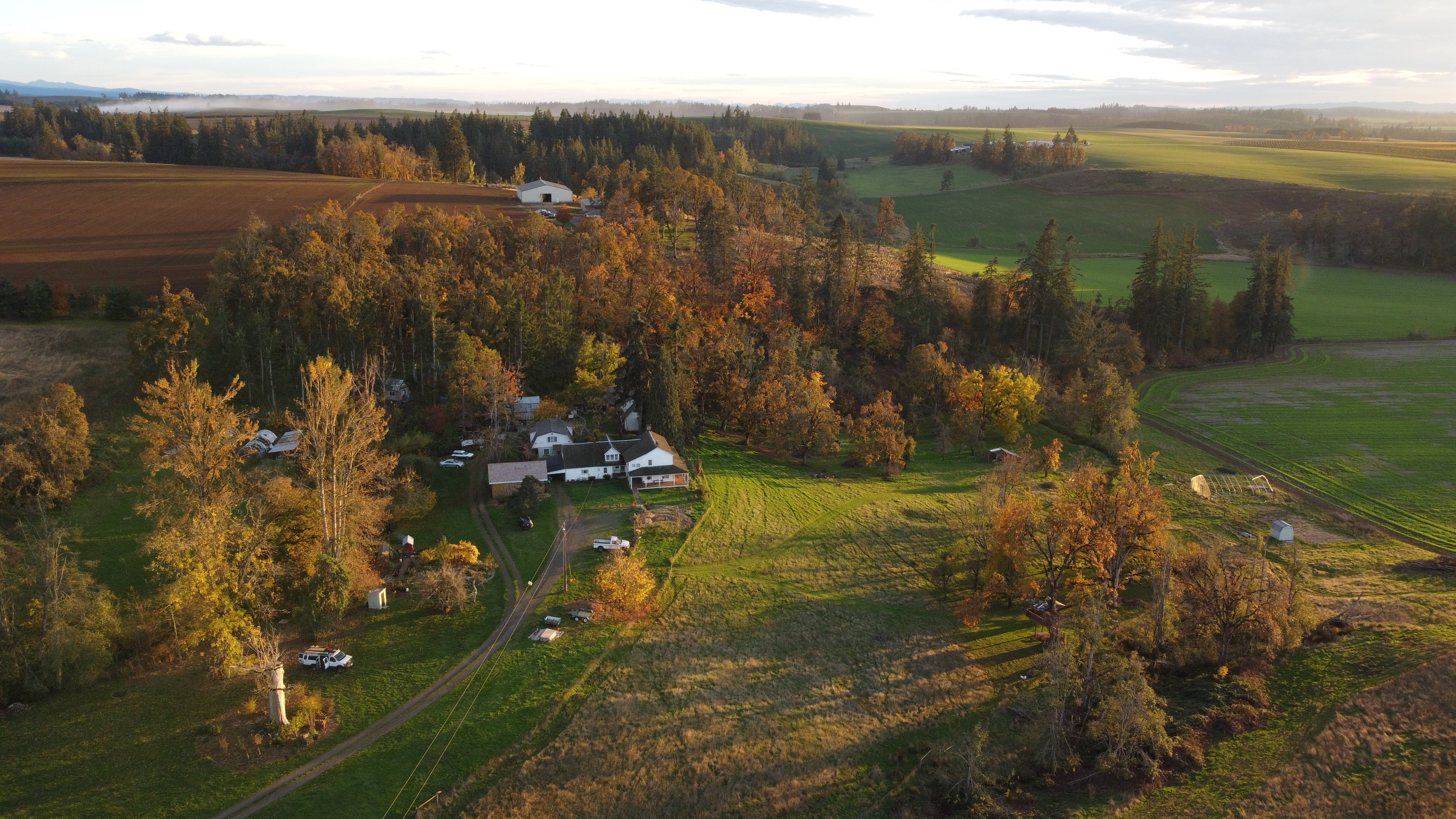
Real estate aerial photography
Show the full context of a residential, rural, or commercial property. Aerial photographs can help communicate lot size, nearby features, access, views, and the relationship between structures and landscape.
- Exterior aerial still photographs
- Wide establishing views and closer detail angles
- Images prepared for web and marketing use
02 · General imaging
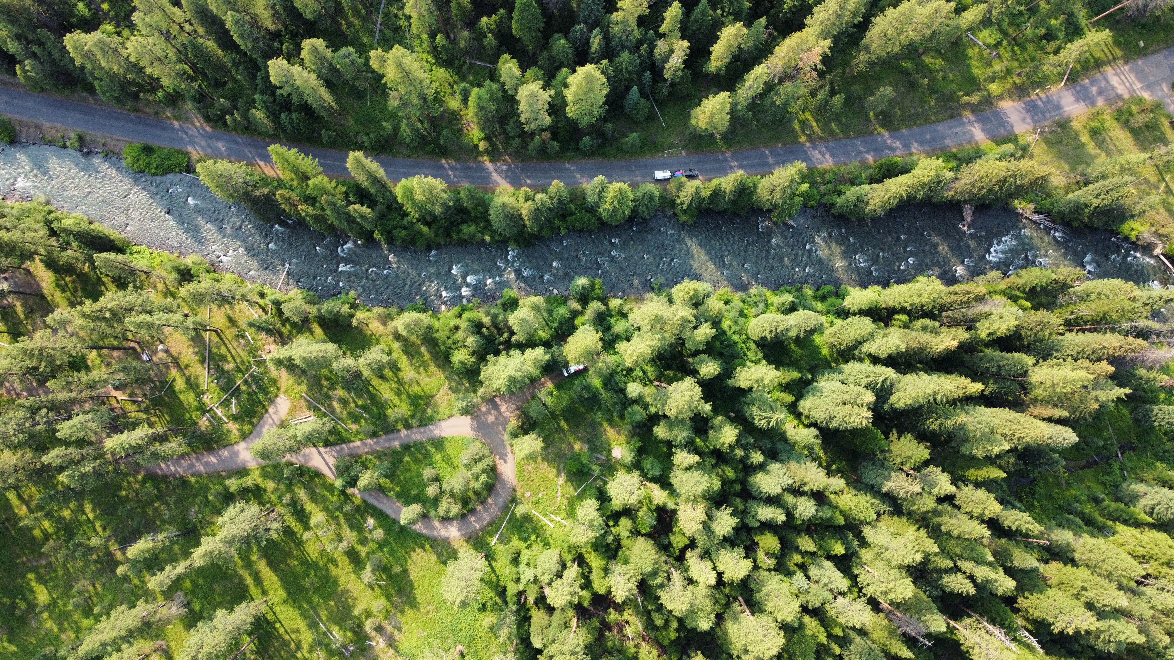
Aerial photography
Professional overhead and oblique photographs for commercial, recreational, editorial, and personal projects. Flight planning is matched to the location, subject, lighting, airspace, and intended use.
- Commercial and promotional imagery
- Outdoor, landscape, and destination photography
- Custom shot lists for specific project needs
03 · Documentation
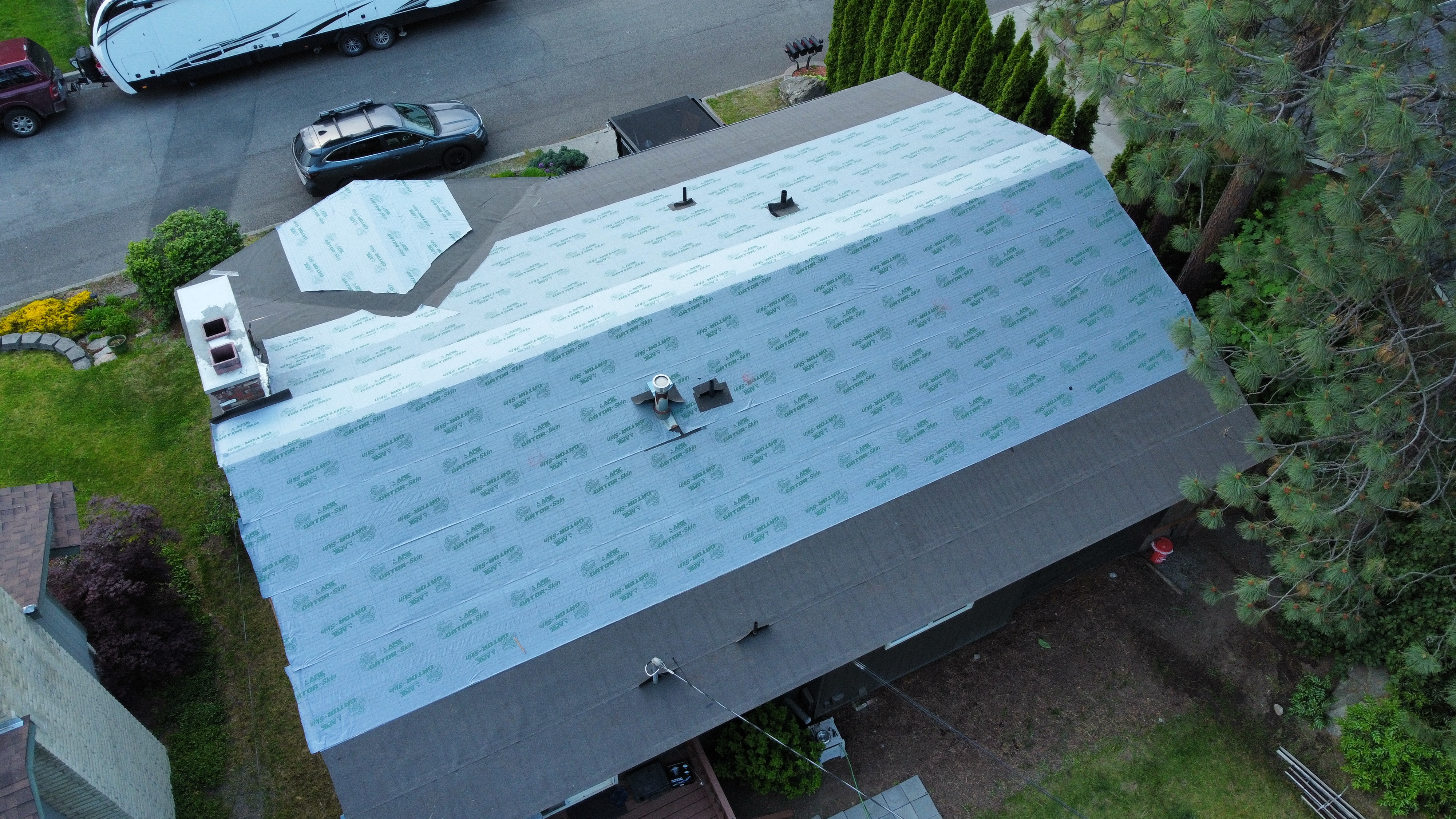
Surveying support and project records
Capture a visual record of work that has been completed—or areas where work is still needed. Aerial viewpoints can provide useful context for planning, communication, and progress documentation.
Important: Imagery is provided as photography and documentation support and does not replace a licensed land survey unless separately arranged with qualified professionals.
04 · Remote environments
Marine and field photography
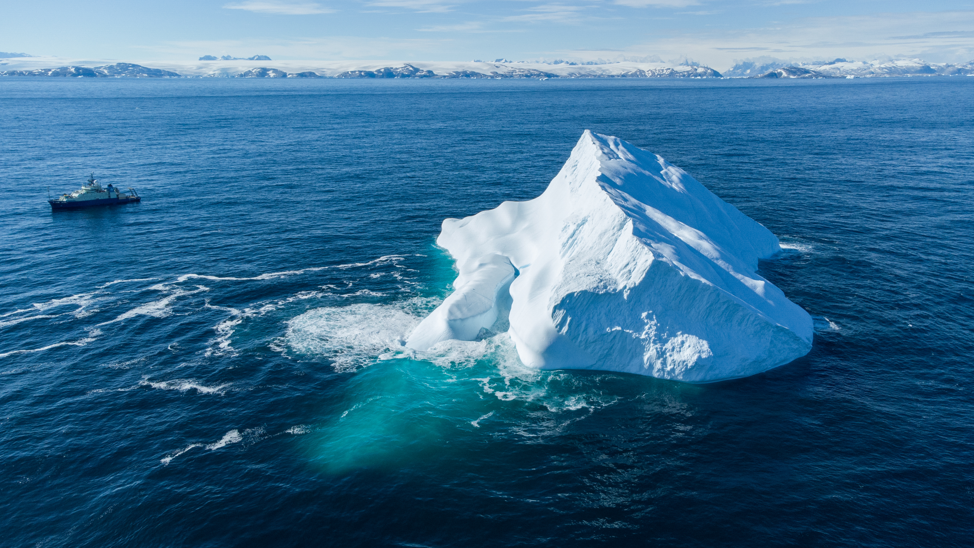
Capture imagery in remote, dynamic, and technically demanding environments. Experience as a seagoing research technician informs a practical approach to preparation, safety, changing conditions, and working alongside project teams.
- Marine and shoreline environments
- Research and field project documentation
- Travel assignments considered individually
05 · Immersive video
FPV drone video
Dynamic first-person-view flights for businesses, properties, outdoor locations, and other projects that benefit from a smooth, immersive perspective.
Contact about FPV
Custom scope
Not sure which service fits?
Describe the location, subject, timeline, and how you plan to use the images. A practical flight and deliverable plan can be built from there.
Request project information